Backpacking West Side of QEW, Hikers Graveyard Section
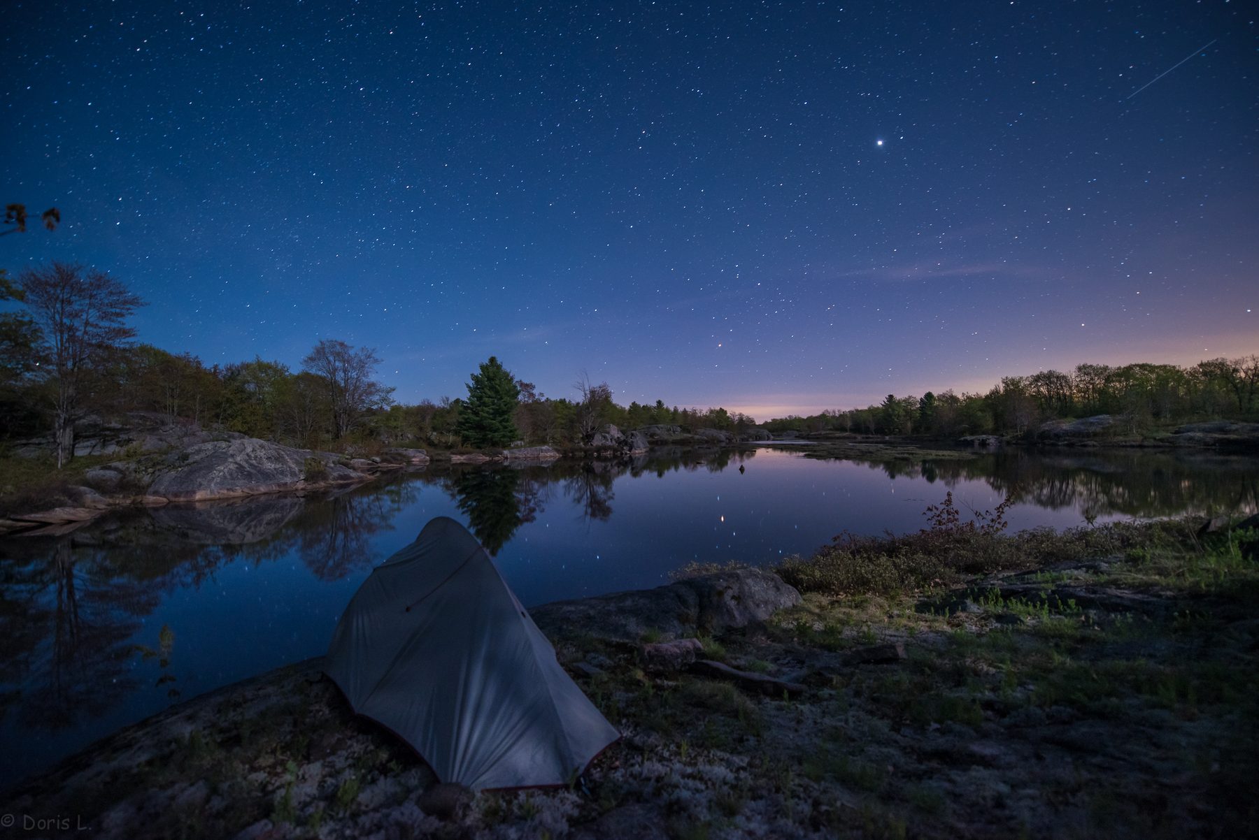
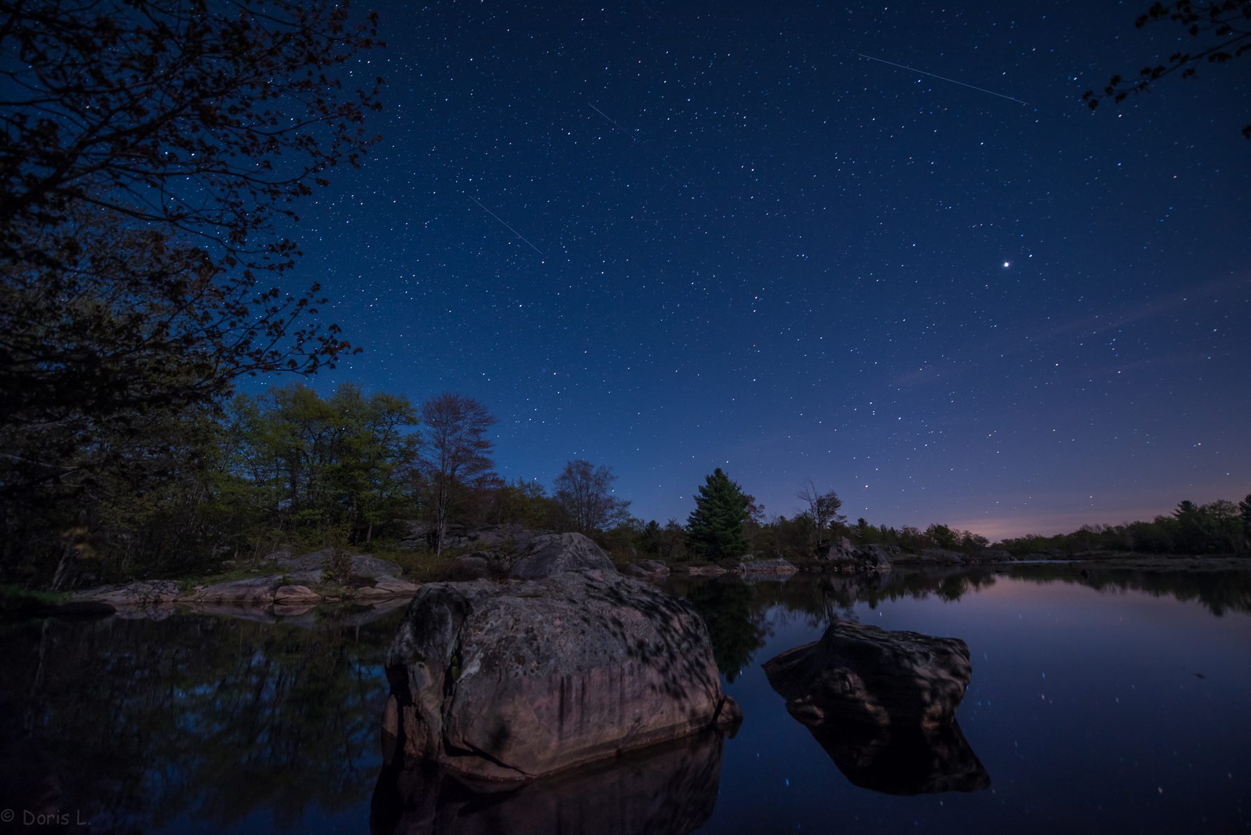
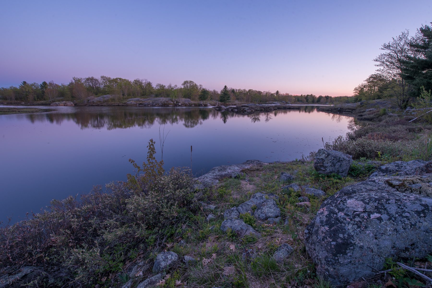
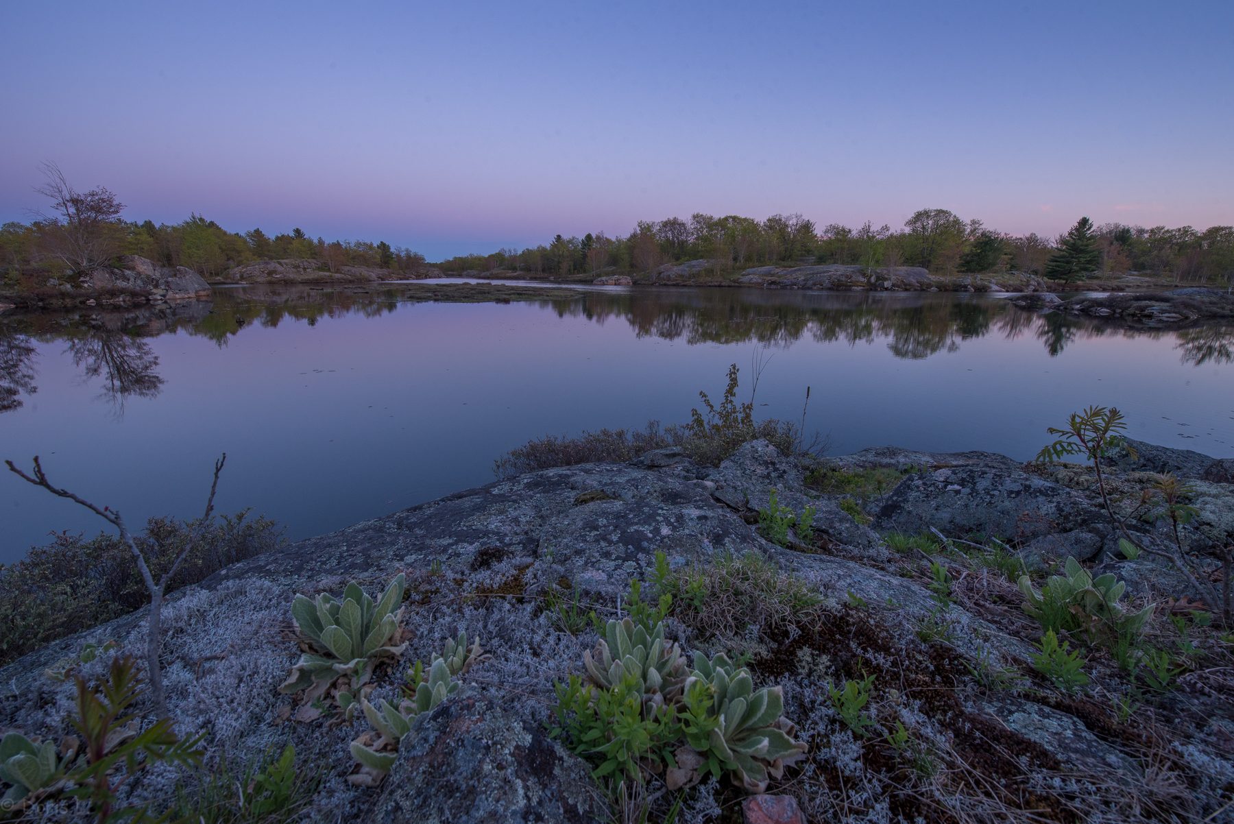
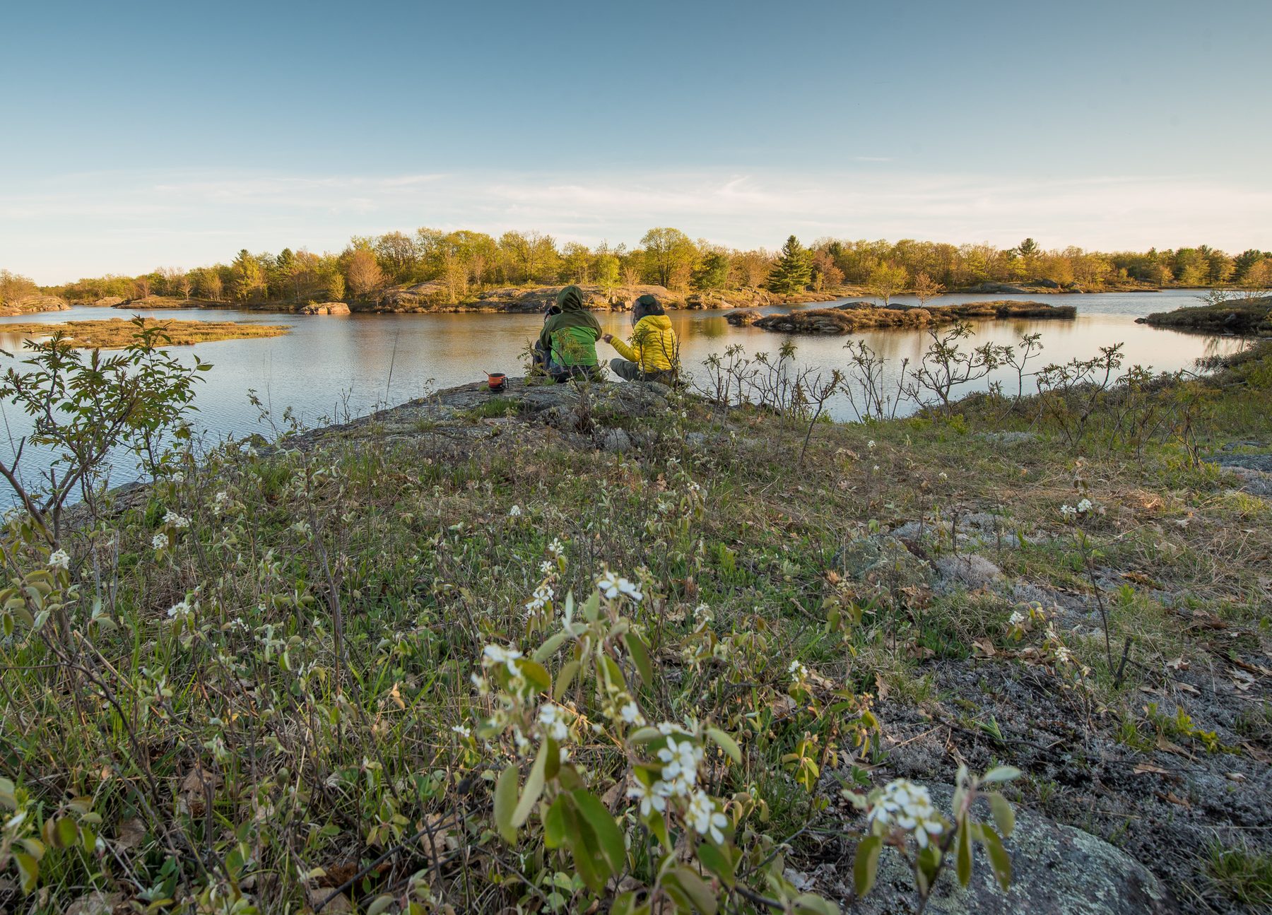
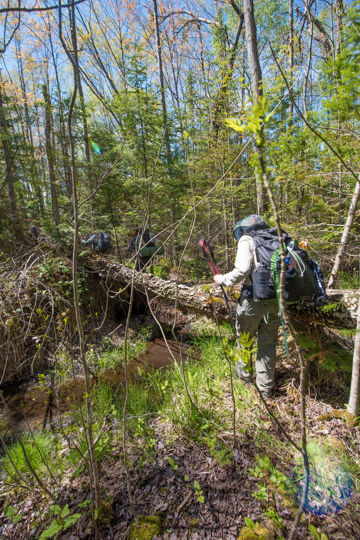
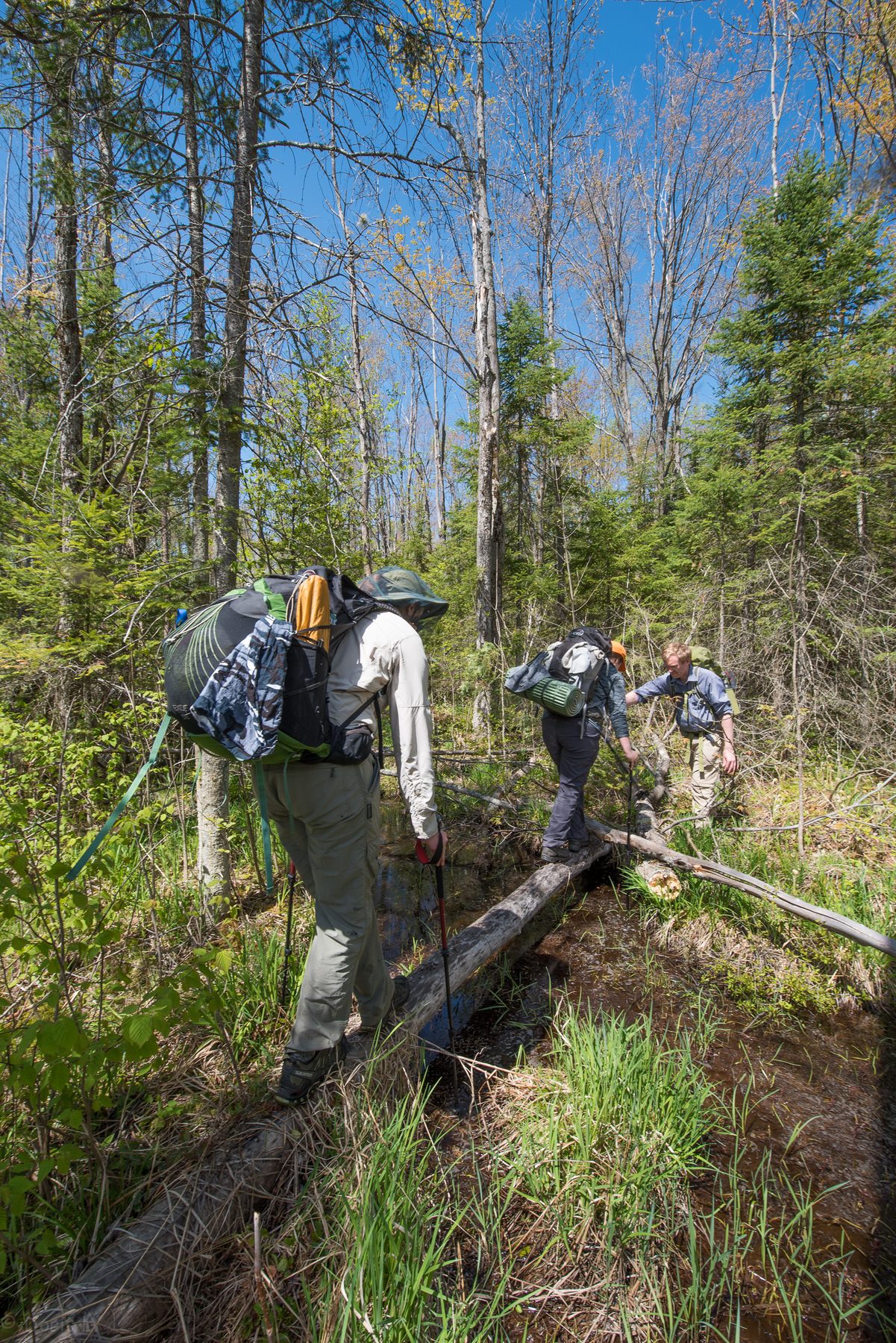
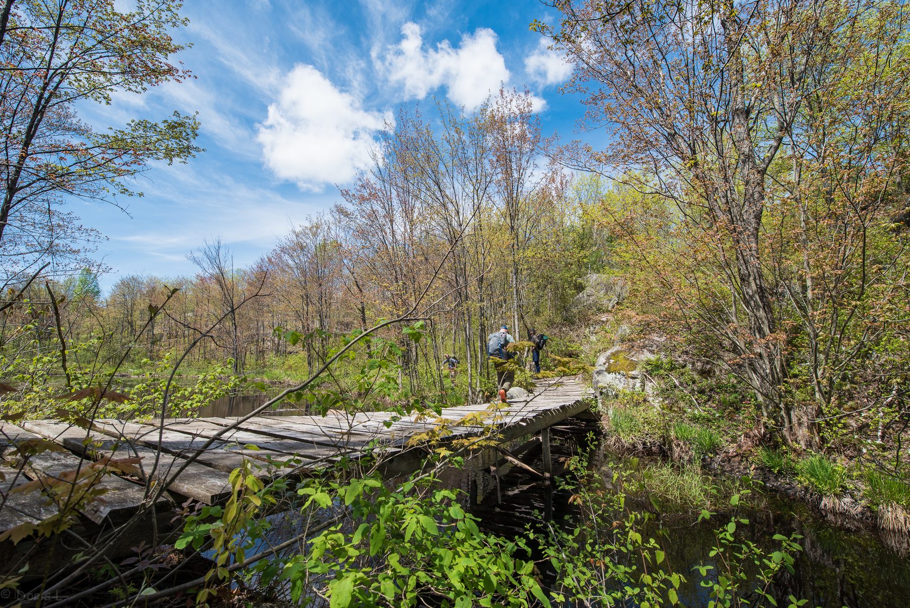
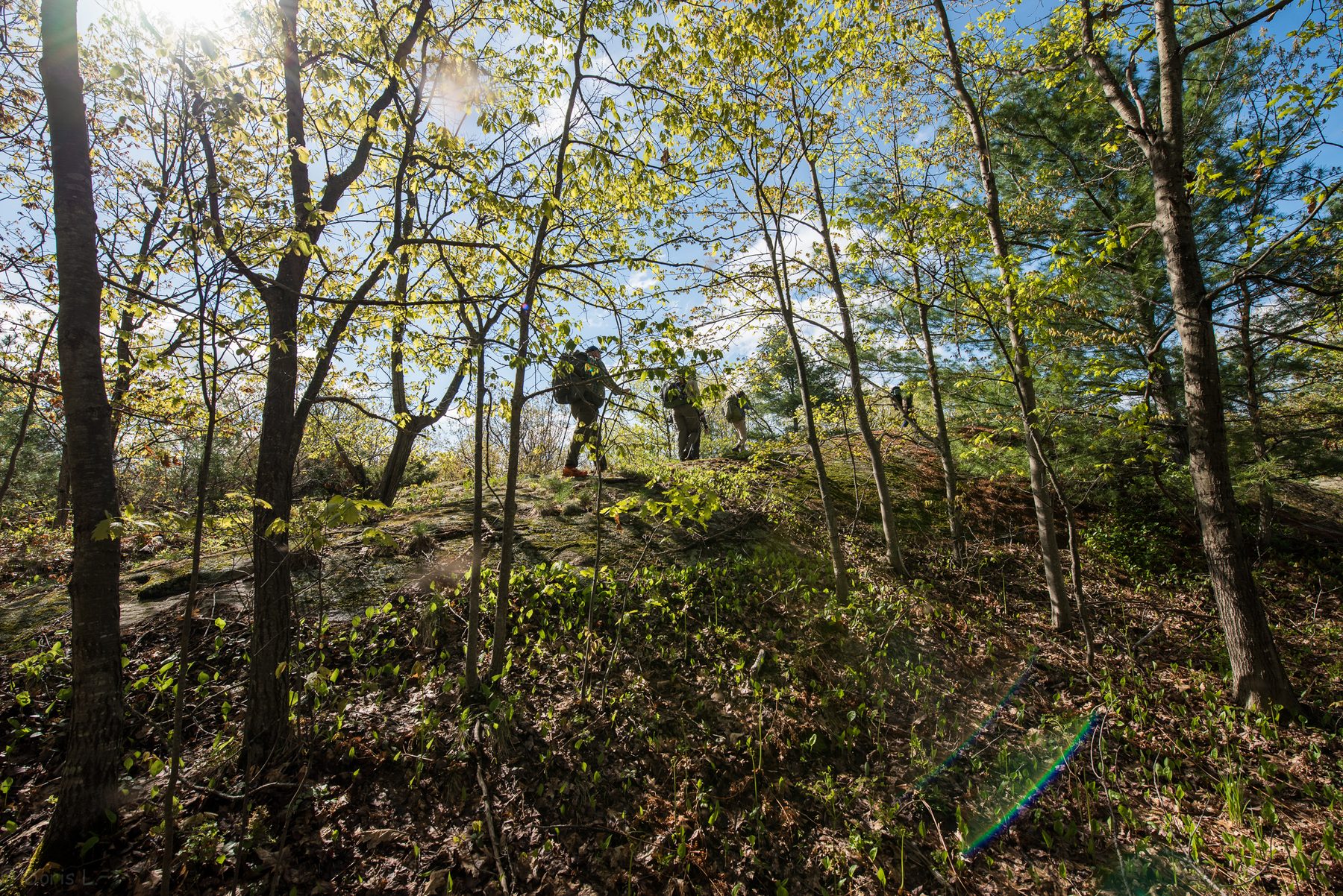
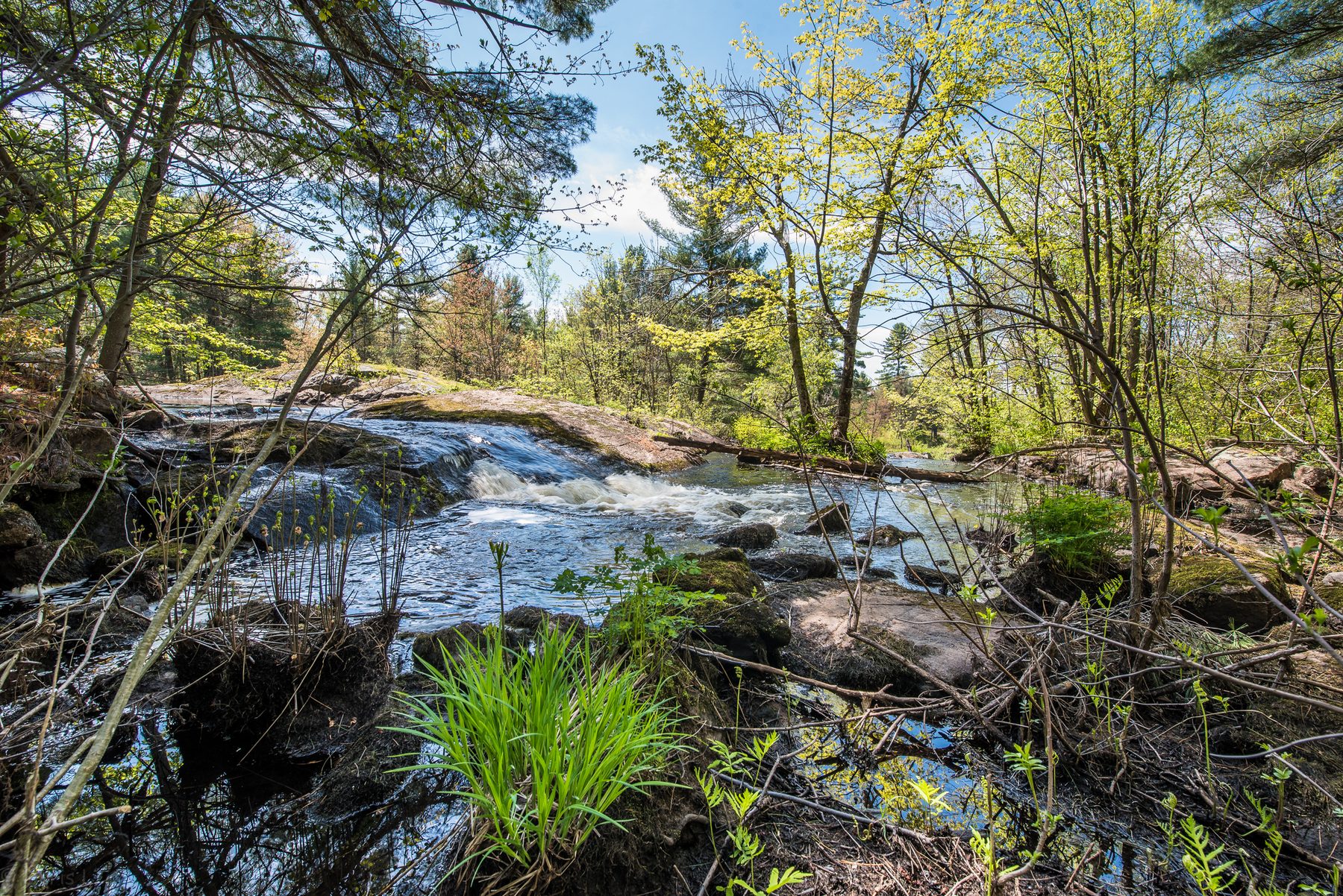
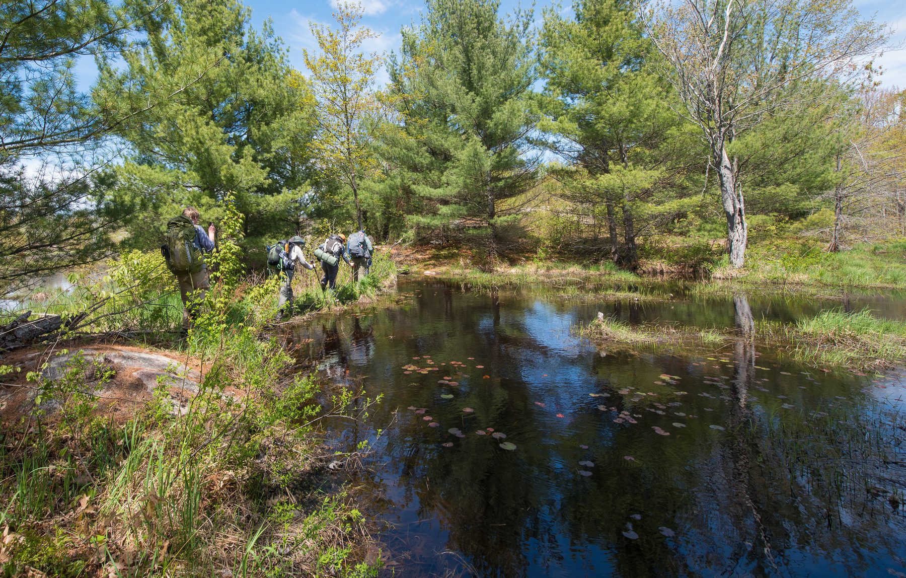
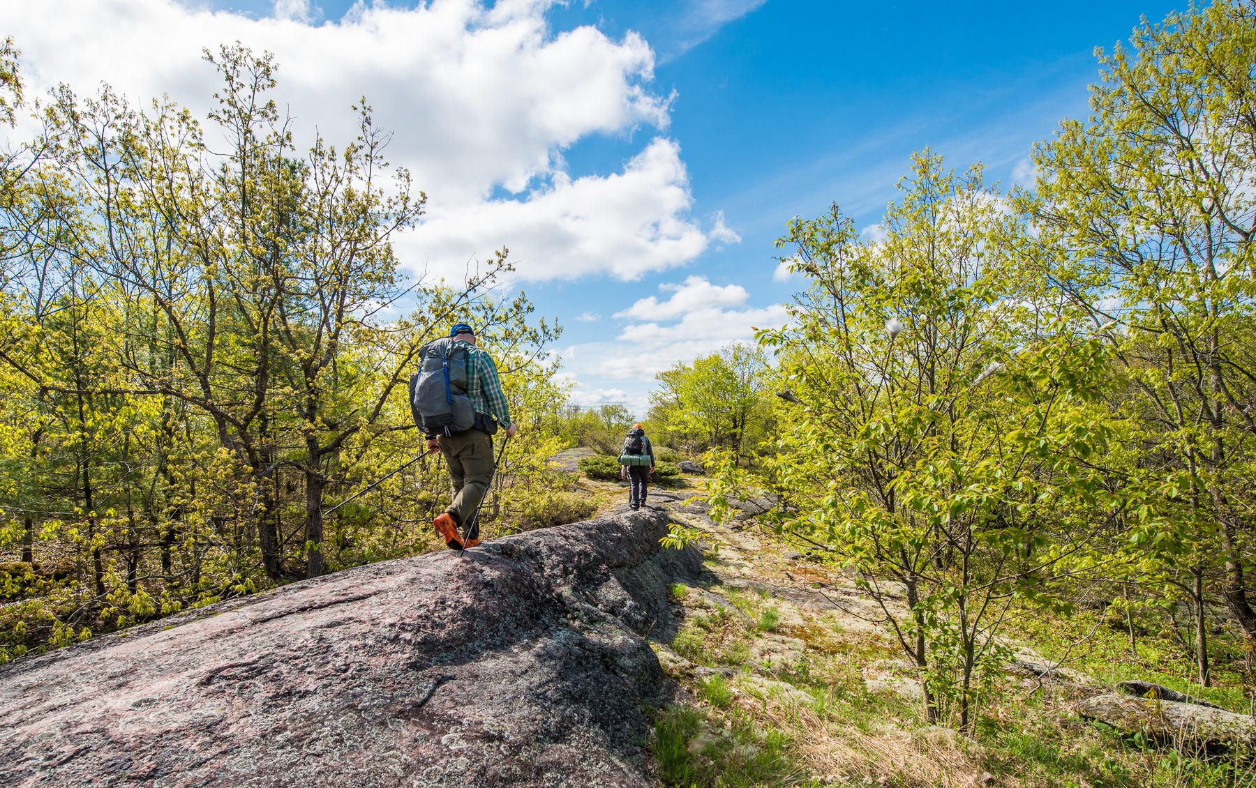
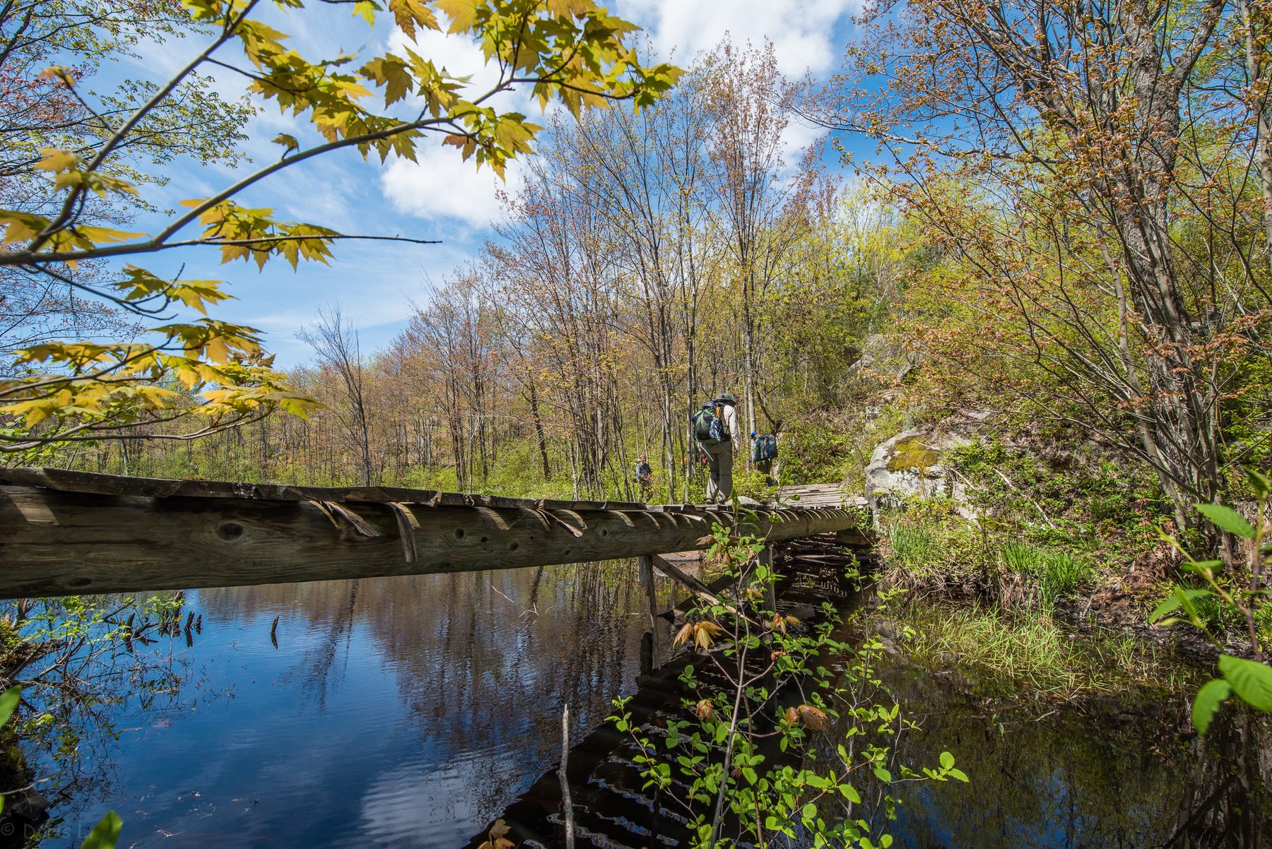
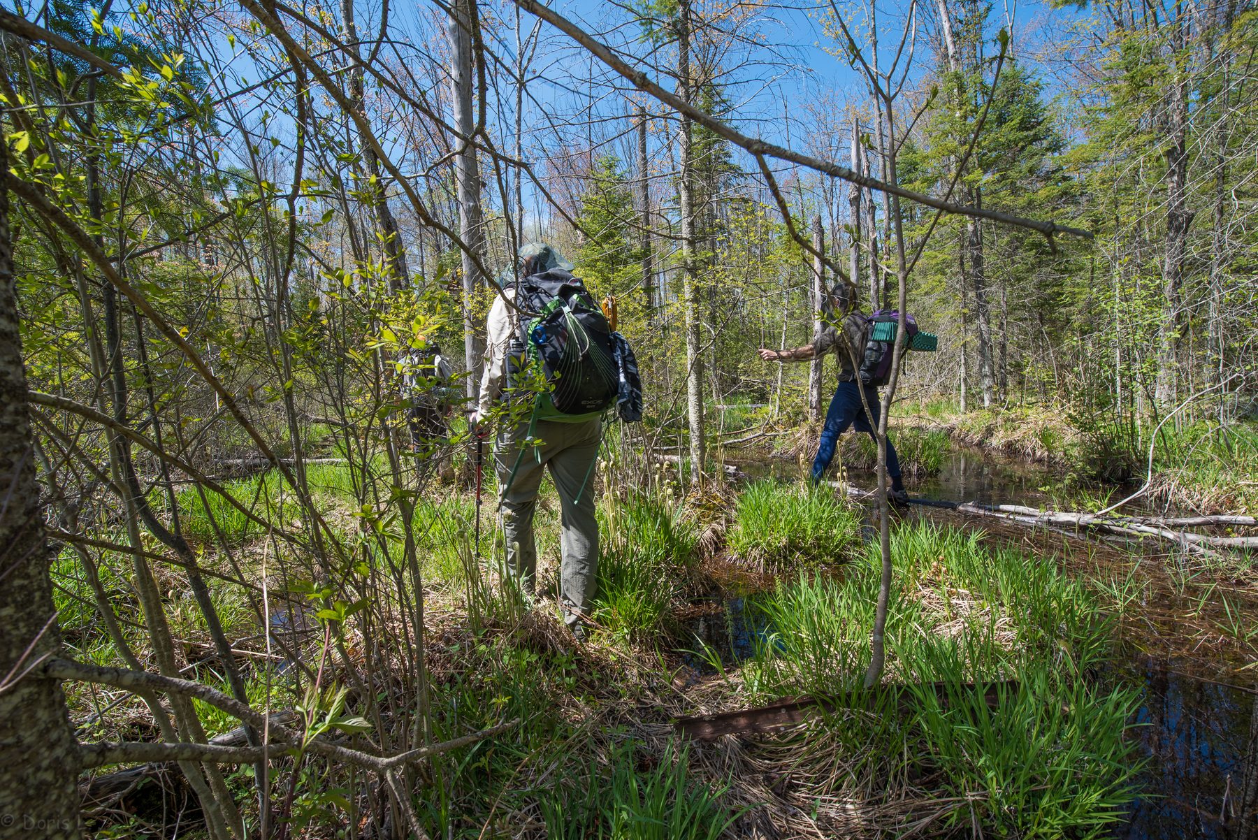
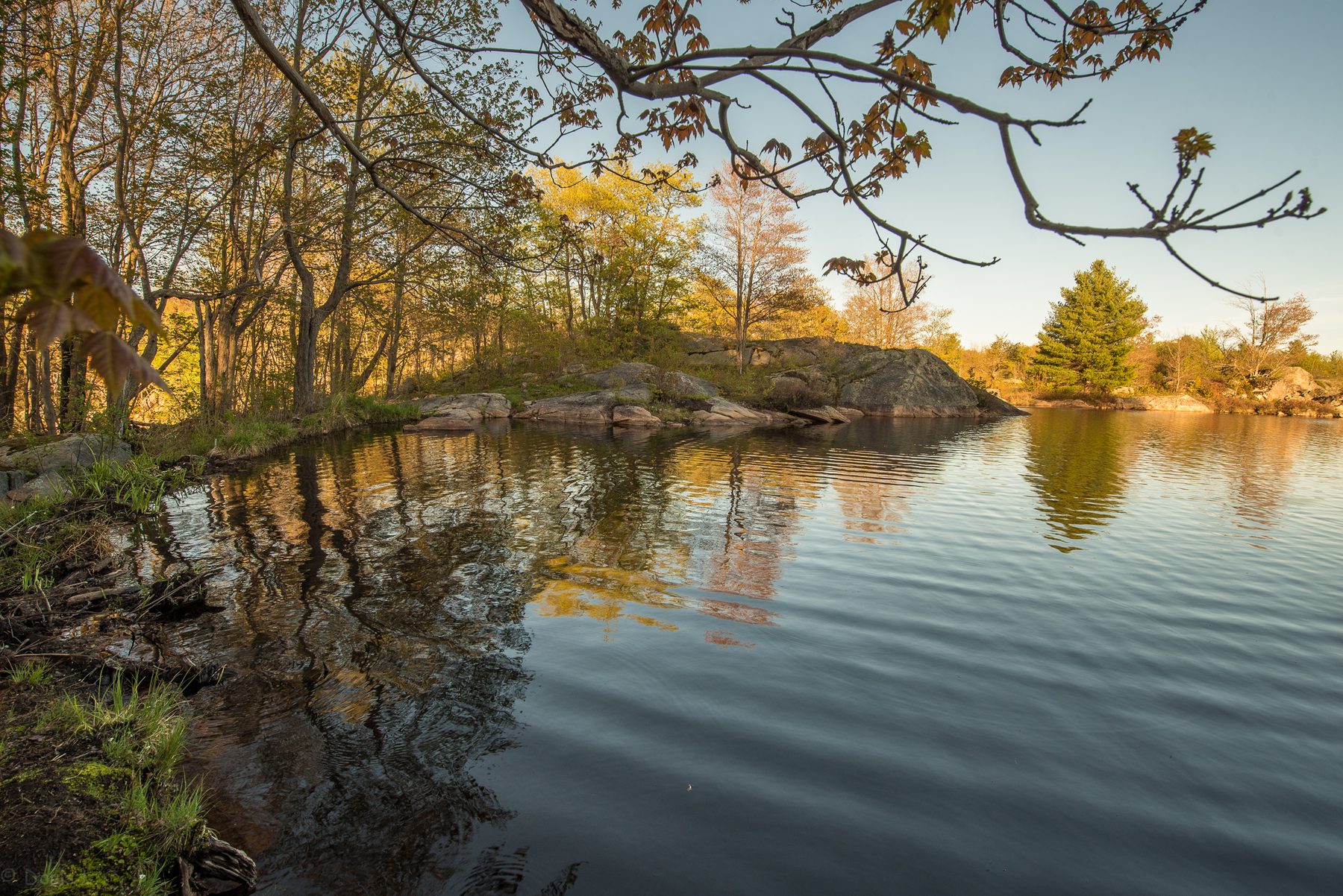
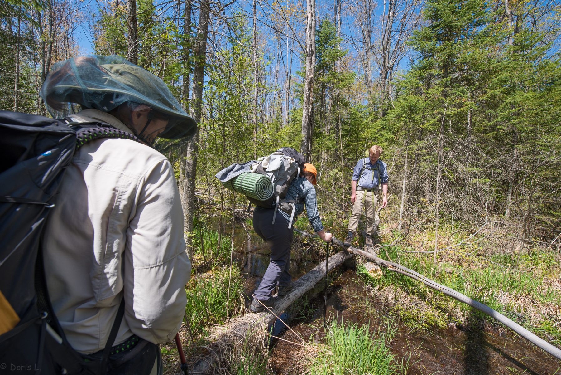
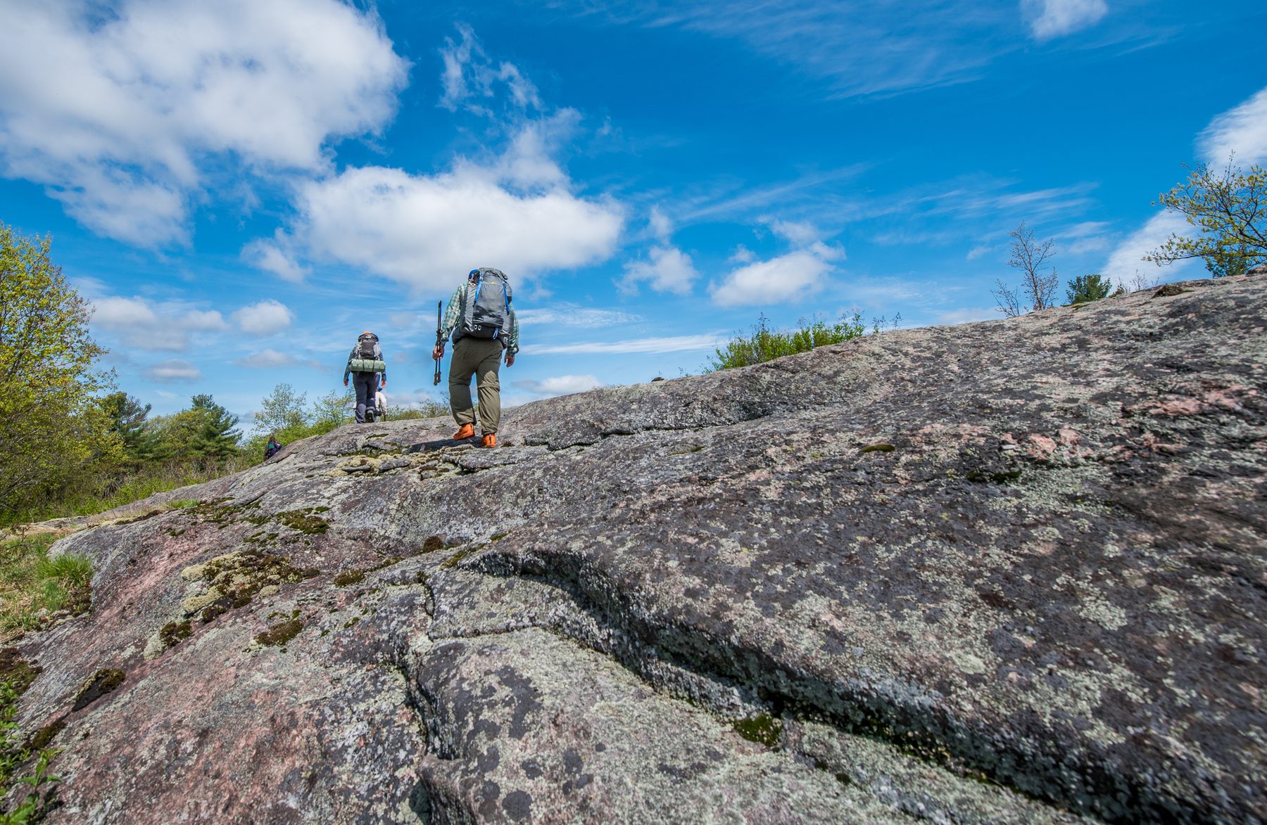
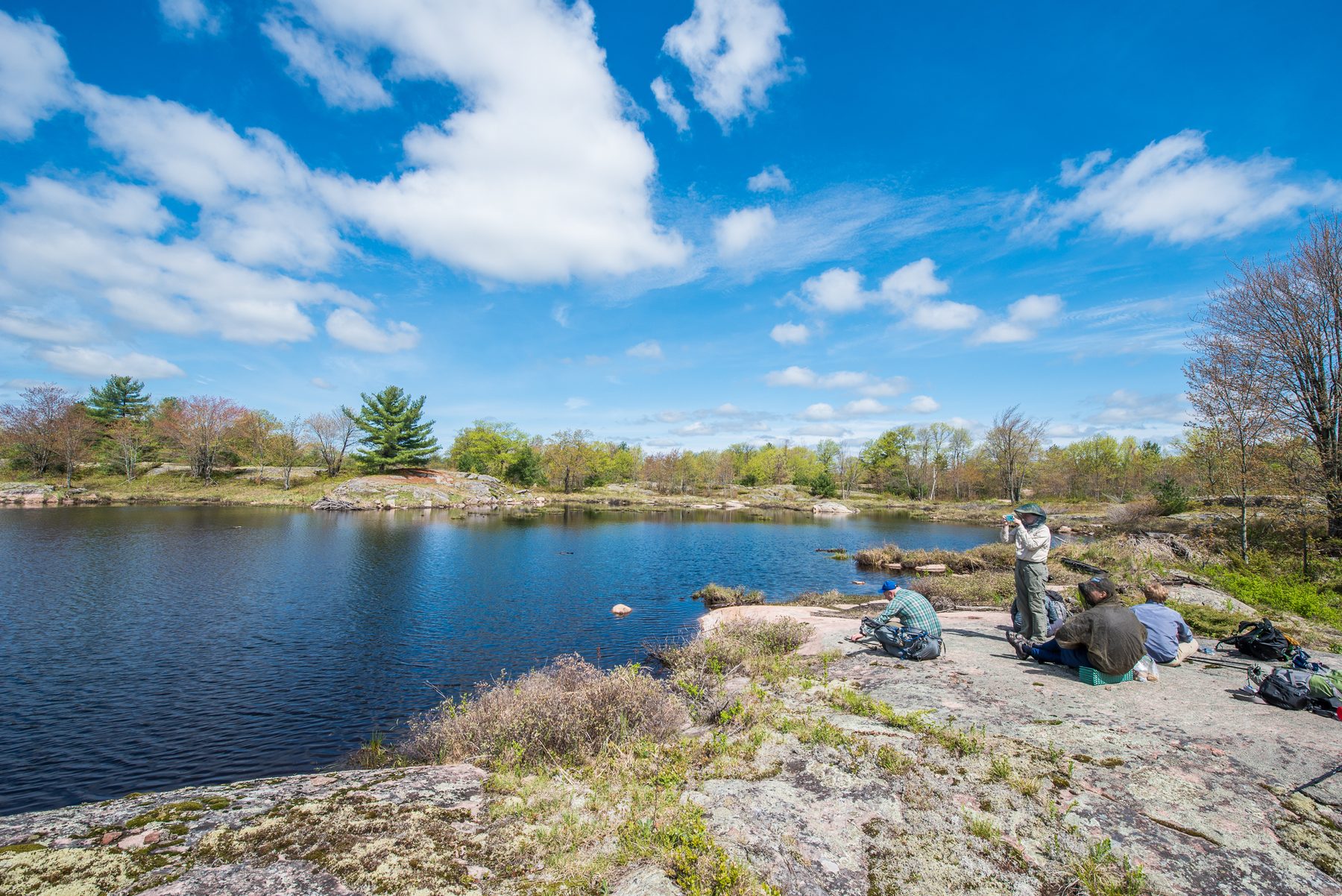
The Ganaraska Trail in Queen Elizabeth Wildlands QEW offers some of the most rugged and ‘primitive’ trail hiking experiences around. As such expect a challenges navigating as rough terrain. We will have GPS track for the area but will try to not really on the and improve the trail as we go. Expect three long days, pace will be moderate and due to the challenging navigation the group is expected to stick together.
This will be a backing trip open to those with previous backpacking experience; multiple years of multiple trips and as such are expected to be self sufficient but gear sharing is encourage to reduce pack wieght. Participants should expect
• getting lost including stretches of bushwacking
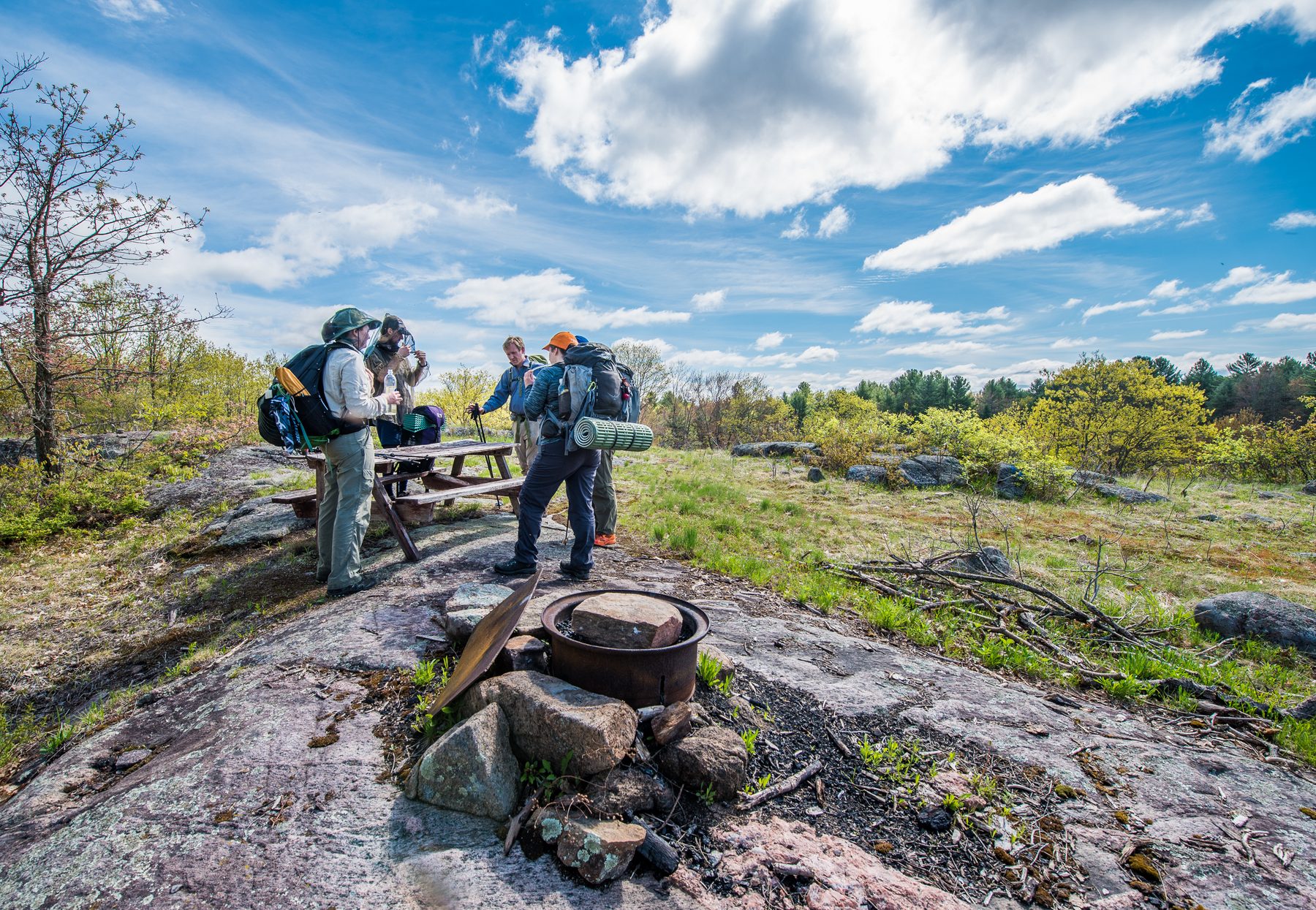
• a complete lack of campsite facilities (no privies), established tenting areas, etc.
• fairly strenuous long hiking days
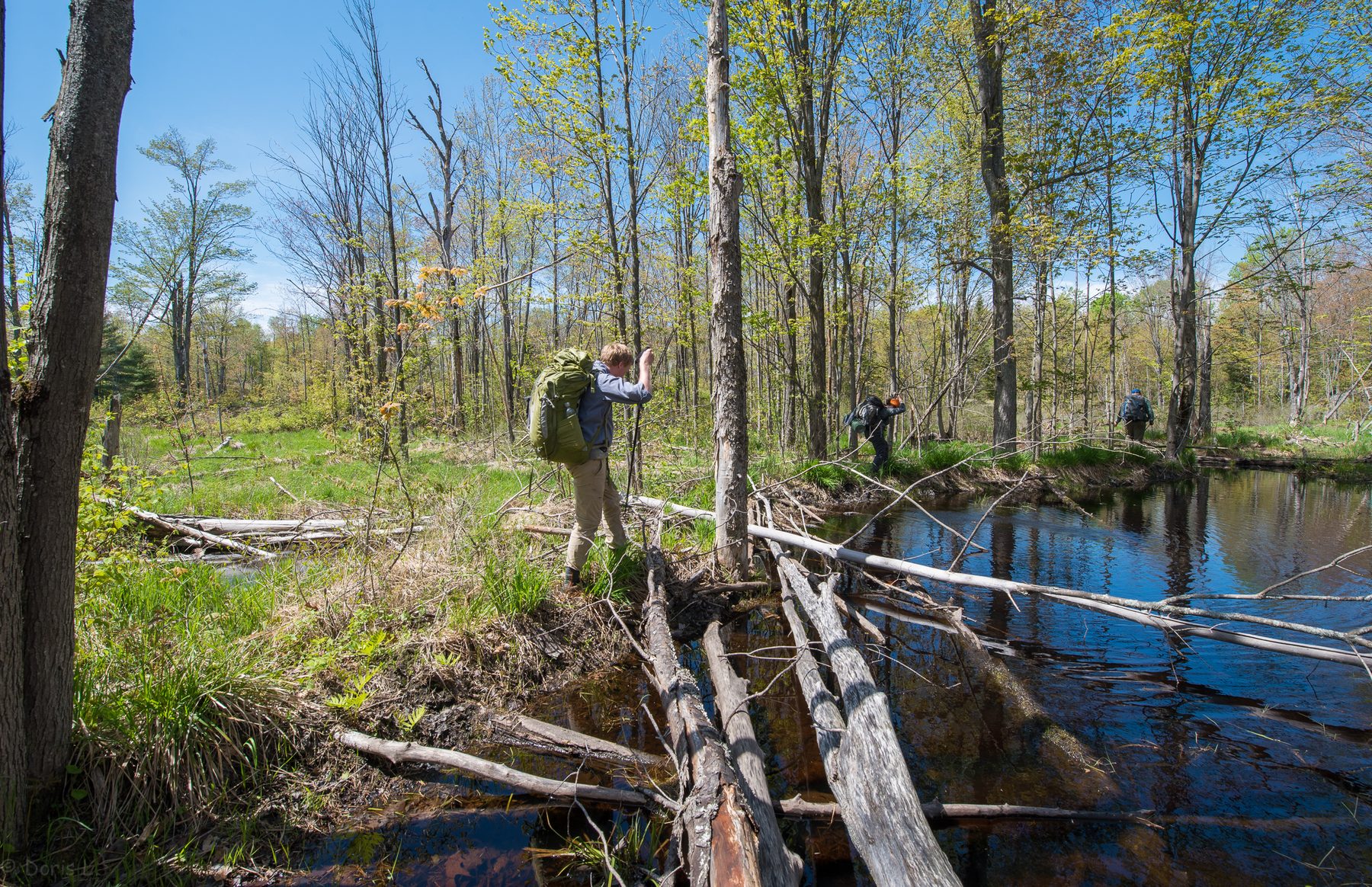
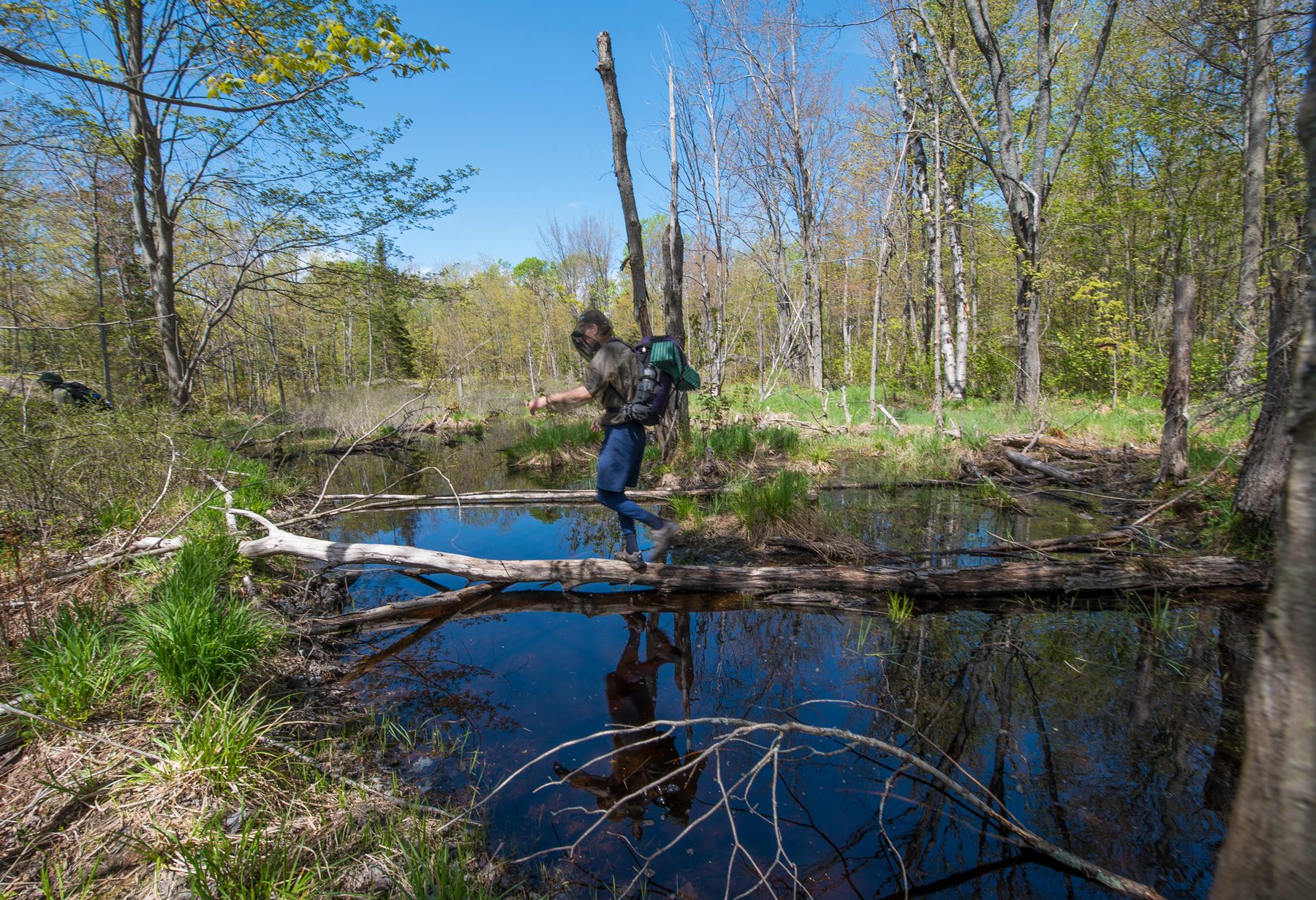
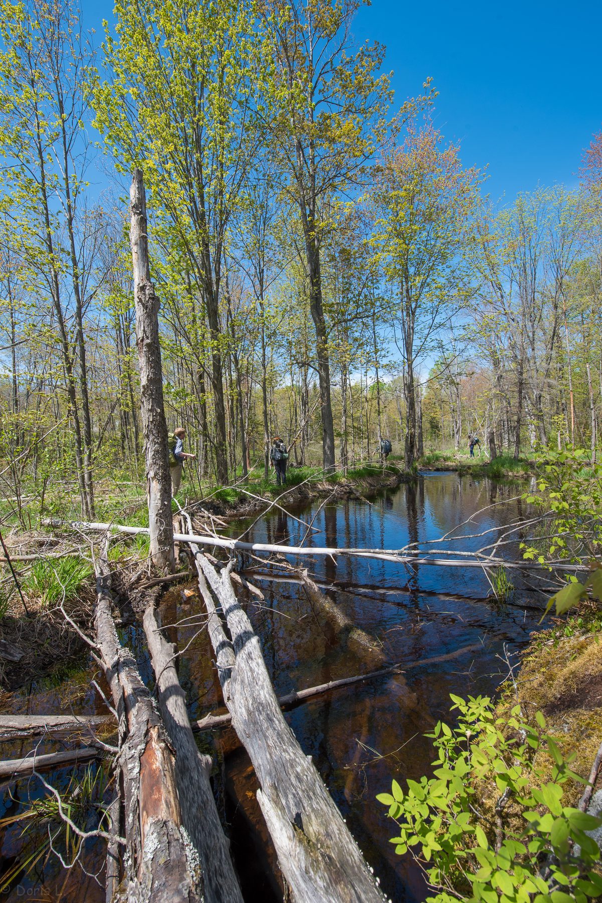
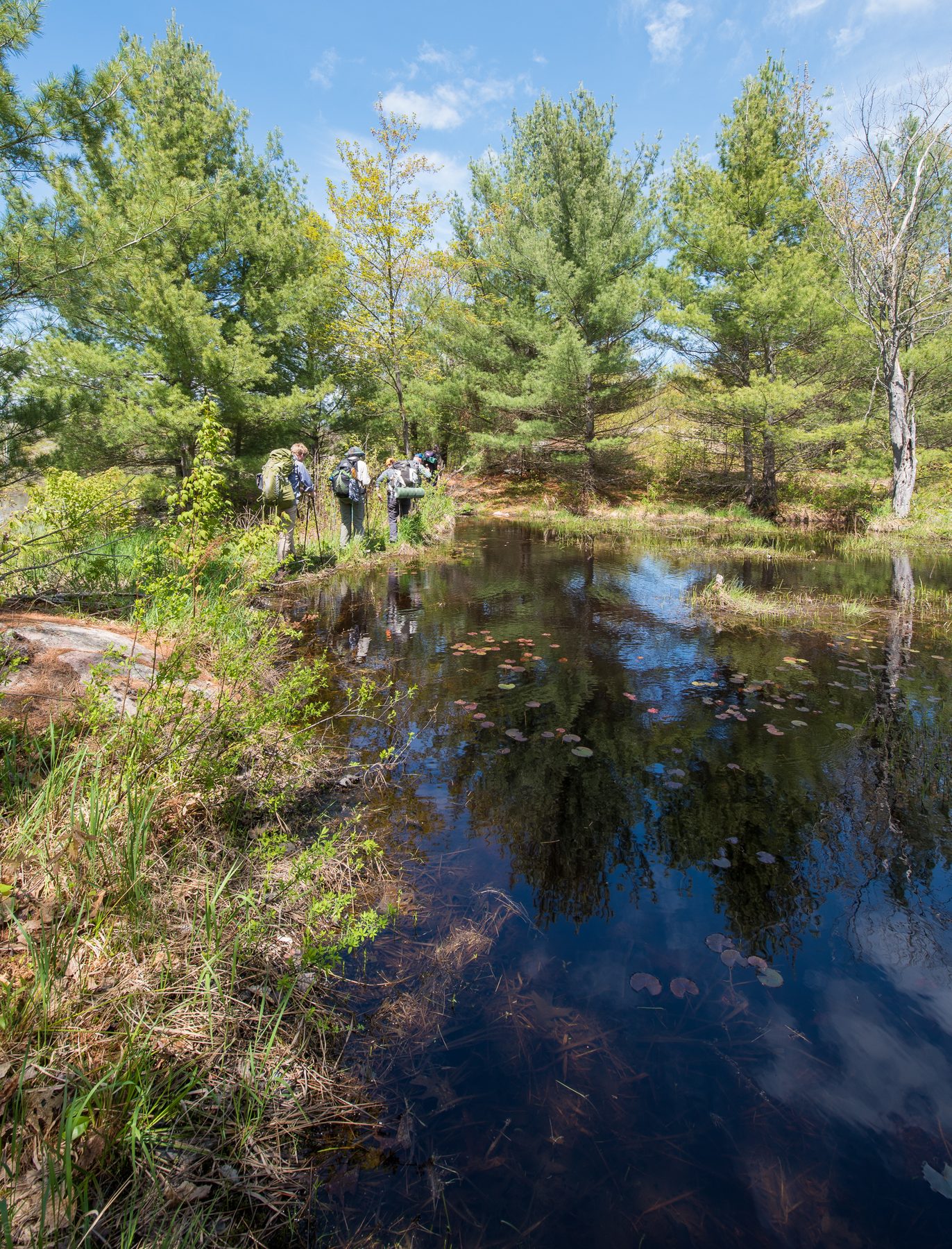
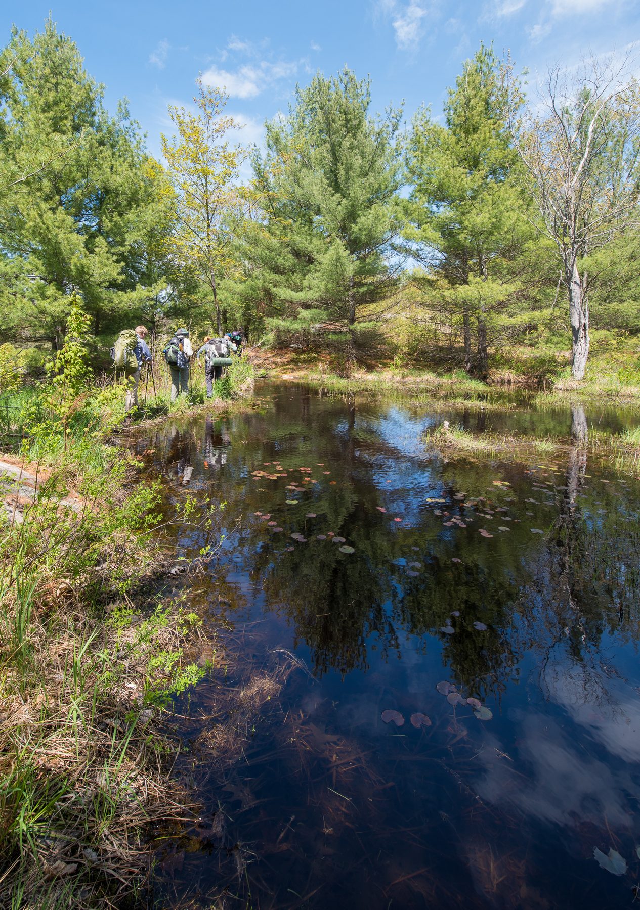
• some areas of flooded trail
• possible of bugs feasting
Area Map
http://www.explorethebackcountry.com/qewmap
Itinerary
The trailhead is at Victoria Bridge,. The link below will show how to get there.
https://goo.gl/maps/6eeUWxWxjo62
We will meet the trailhead Saturday at 10:00 and start hiking at 10:30 AM and hike until 4:30-5PM
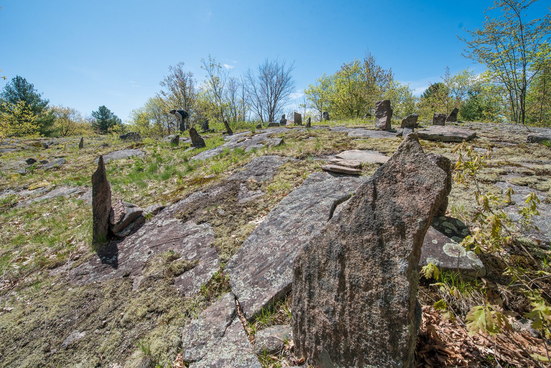
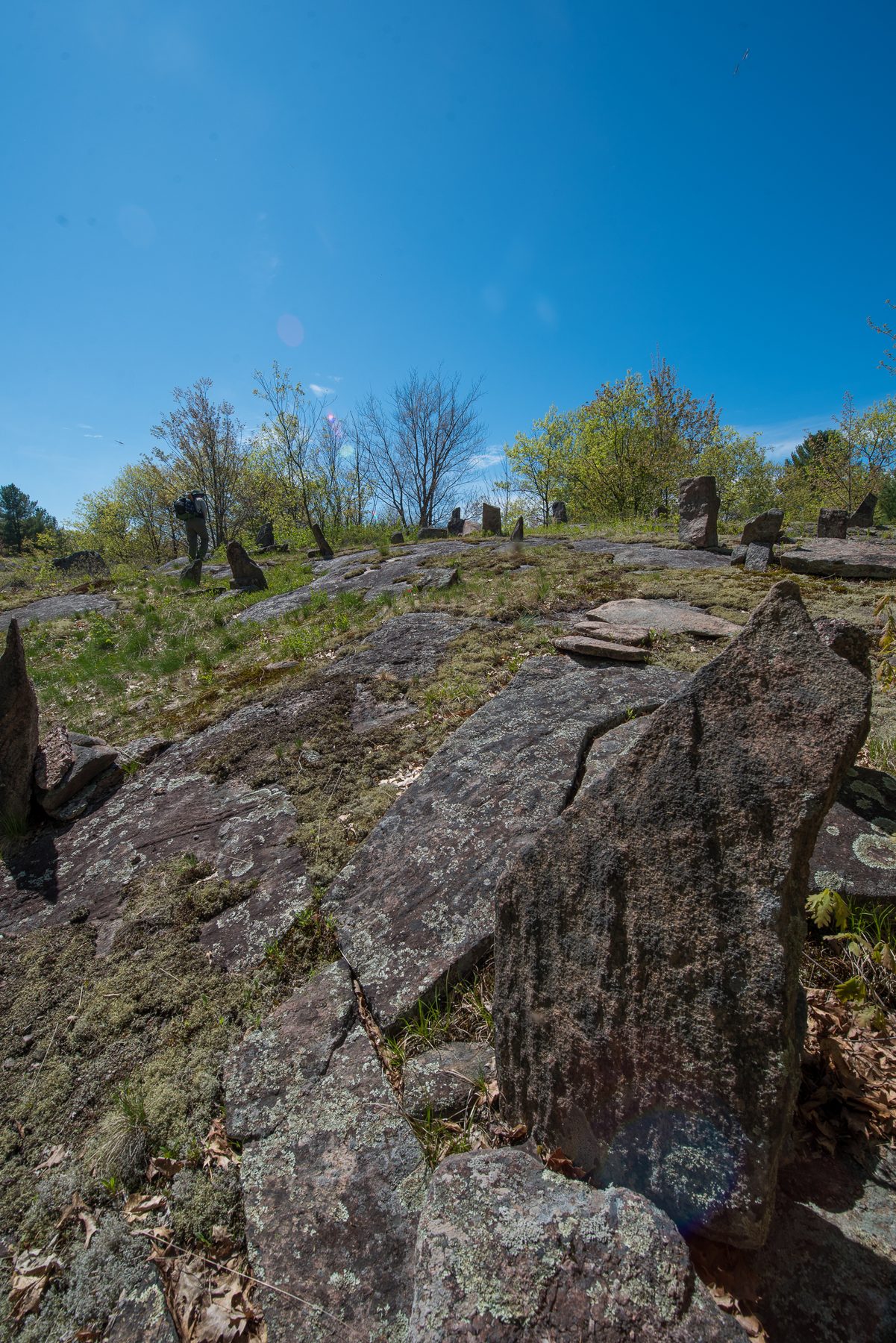
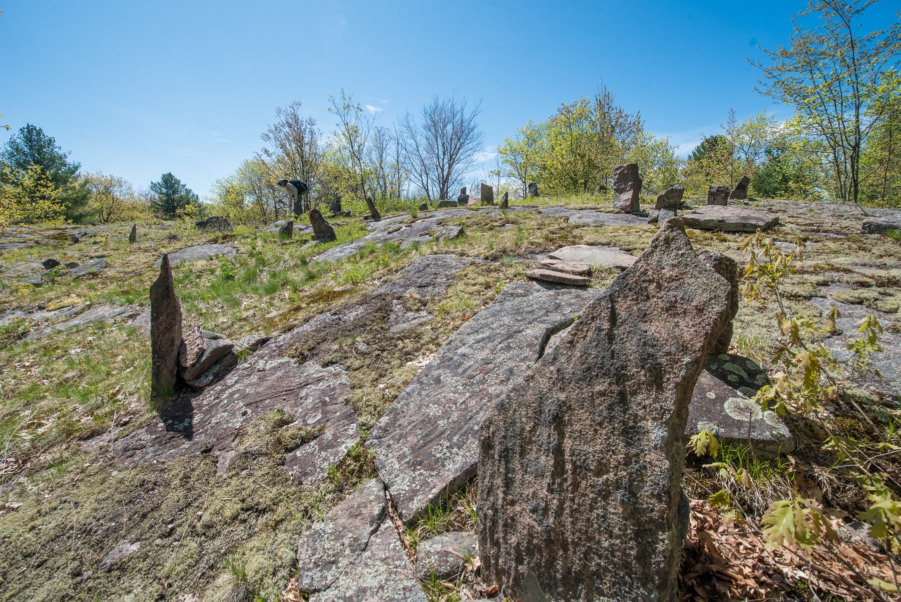
We will head west on the Ganaraska Trail via the Graveyard Section. When we reach Hiker’s Graveyard we will hike the northern side of the High Falls loop.
On Sunday we will return we will attempt to make it most of the way around the lower loop
Monday we will return via the way we came
Total distance will be approximately 40 km give or take
Money
QEW does not has any fees. You should expect to split the cost of gas with your driver and fellow passengers.
Logistics
It is encouraged that people carpool and share gear. Please use the comments section on this trip to coordinate those details, use private messages for specific addresses and phone numbers.
Photos
38 photos